
LiDAR Scanning & Surface Modeling
High-density aerial LiDAR point cloud acquisition penetrating heavy vegetation to generate true bare-earth digital terrain models (DTM/DEM), 1-ft contour intervals, and 3D surface meshes for engineering design.
Penetrating dense canopy to model true bare-earth terrain
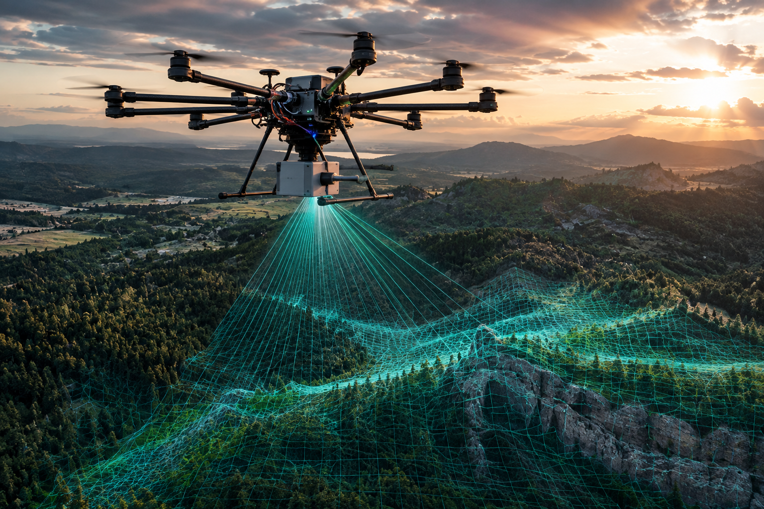
Photogrammetry alone cannot see through heavy tree canopy or dense vegetation. Our survey-grade UAV LiDAR scanners emit hundreds of thousands of laser pulses per second, capturing multi-return reflections that reach the actual ground surface.
We classify the resulting point cloud into ground, vegetation, and structural returns, generating survey-grade Digital Terrain Models (DTM) and 1-ft elevation contours ready for grading analysis in Civil 3D.
What the client receives (Main Deliverable Products)
 LAS Point Cloud
Classified LAS Point Cloud
Georeferenced LAS/LAZ point cloud classified into bare earth, low/high vegetation, buildings, and noise artifacts.
 Bare-Earth DEM
Bare-Earth DEM & DTM Surface
High-resolution Digital Elevation Models filtering out all canopy to deliver true ground elevations for hydraulic analysis.
 1-ft Contours
1-ft CAD Elevation Contours
Clean, smoothed 1-foot and 5-foot index vector contours exported as 3D Polylines directly into Autodesk Civil 3D.