
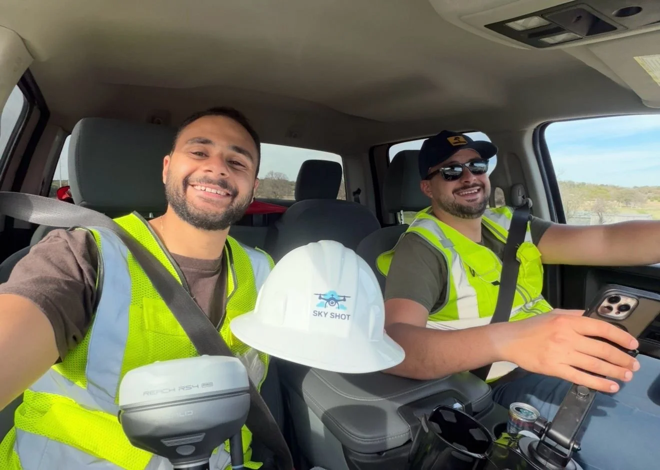
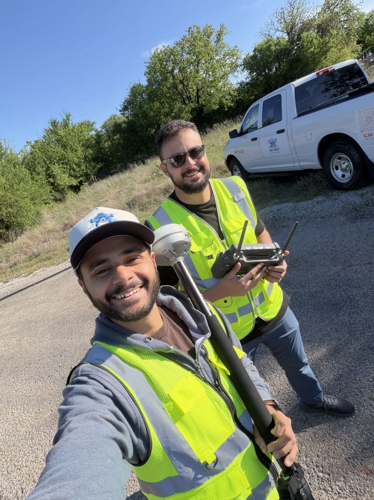
Who we are
At Sky Shot, we believe better decisions start with better data.
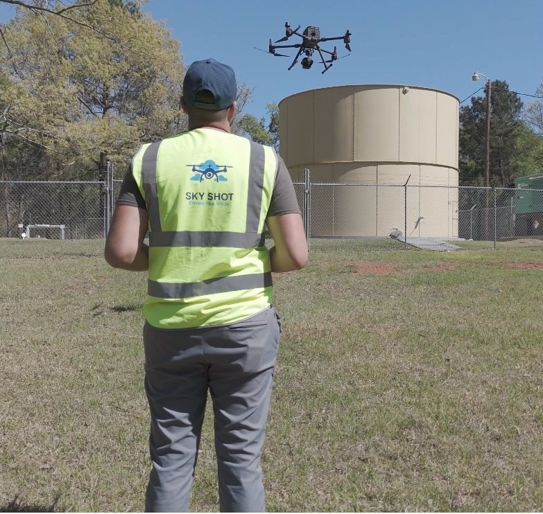
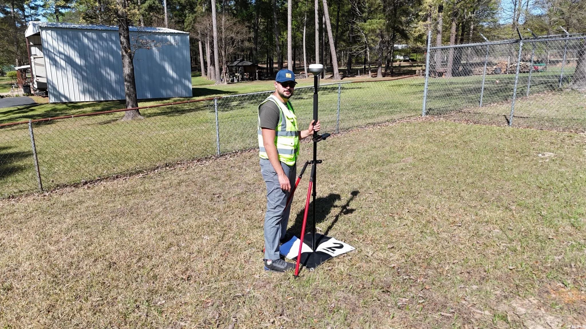
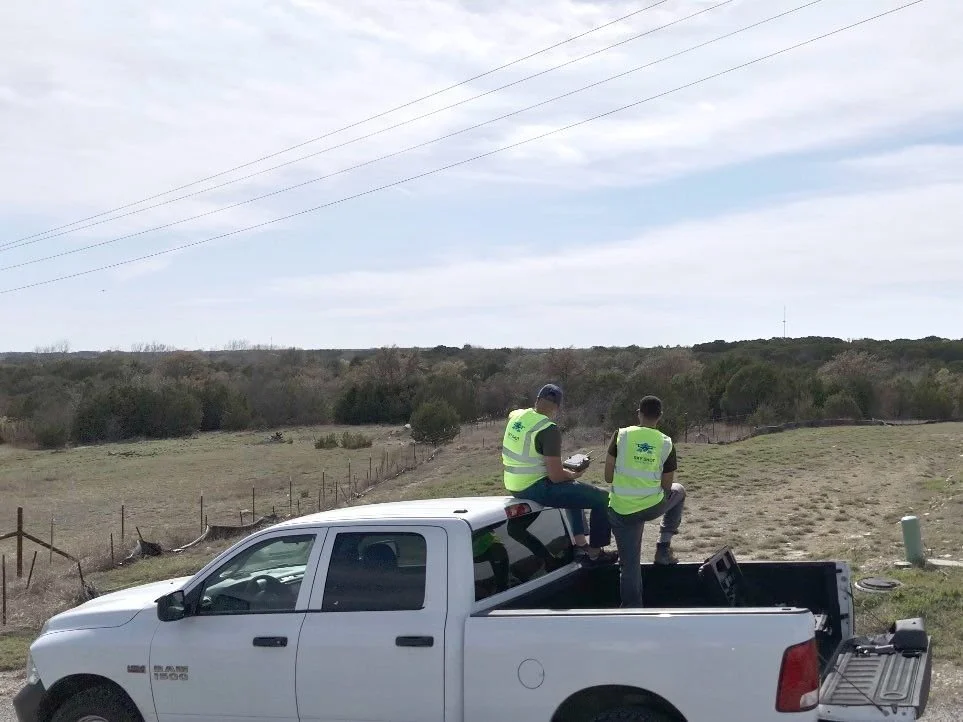
Our mission is to bridge the gap between field conditions and engineering design through advanced aerial mapping, LiDAR technology, and geospatial solutions. We provide the accurate, reliable information project teams need to visualize existing conditions, reduce risk, and move projects forward with confidence.
Every flight has a purpose. Every dataset has a goal. Every deliverable is created to help our clients see more, understand more, and build with certainty.
Contact us
Interested in working together? Fill out some info and we will be in touch shortly. We can’t wait to hear from you!