

Photogrammetry Mapping & Orthophotography
High-resolution aerial imagery processed into georeferenced orthophotography, digital elevation models (DEM/DTM), and CAD-ready existing condition basemaps calibrated to your project's coordinate system.
Transforming raw aerial imagery into CAD-ready orthophoto basemaps
High-resolution aerial photogrammetry captures thousands of geotagged drone photos. We process and bundle-adjust the imagery with RTK/PPK GNSS ground control points to deliver sub-centimeter orthomosaics.
Every dataset is calibrated to your project's state plane coordinate system—giving civil engineers and land surveyors distortion-free existing condition drawings with zero site cleanup required.

What the client receives (Main Deliverable Products)
CAD Linework
Standardized CAD Linework
Layer-separated 2D/3D CAD drawings featuring curbs, driveways, structures, fences, and pavement markings.
 GIS Database
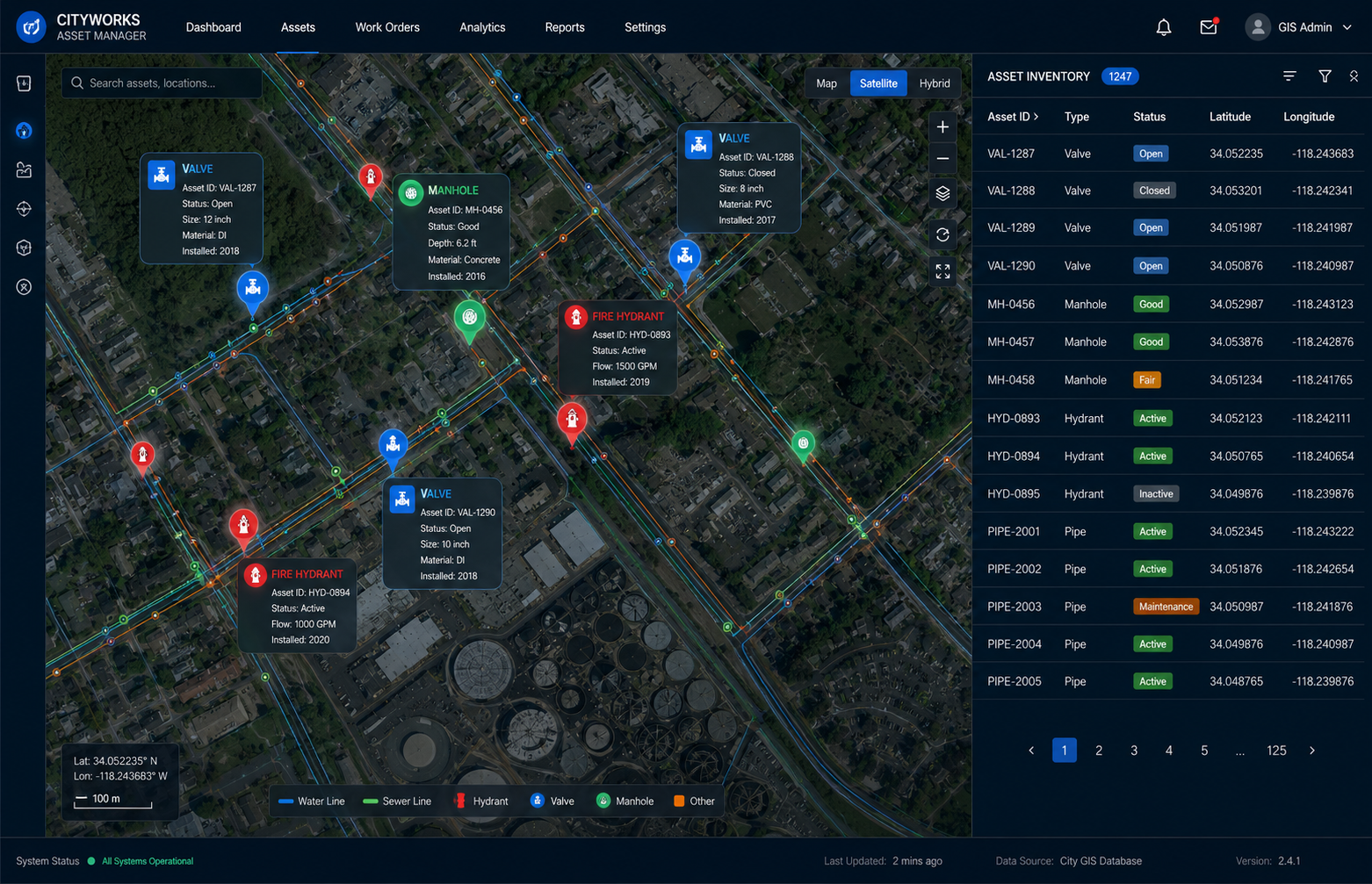
Utility Asset Inventory Database
Structured Excel and GIS database detailing geodetic coordinates and attributes for all mapped surface utilities.
 Civil 3D Blocks
Civil 3D Utility Block Symbols
Pre-populated Autodesk Civil 3D blocks aligned precisely to state plane coordinate systems for seamless engineering drafting.