

Multi-Site Water Facility Assessment Program
Standardized UAV aerial photogrammetry and LiDAR mapping across 18 regional water treatment plants to deliver unified existing-condition basemaps, asset inventory databases, and Civil 3D engineering deliverables in approximately one week.
Multi-site water facility assessment program

01. Challenge
A regional infrastructure improvement program required preliminary engineering assessments across 18 water treatment facilities distributed over a wide geographic area.
Legacy site documentation was incomplete or outdated. Engineers needed rapid, standardized existing-condition data for each plant—including tanks, chemical systems, structures, access roads, and operational boundaries—before initiating design.
02. Method
Sky Shot established a standardized UAV aerial mapping and site documentation workflow across all 18 facility locations. Aerial imagery was captured at low altitudes to maximize surface detail for plant equipment and structural footprints.
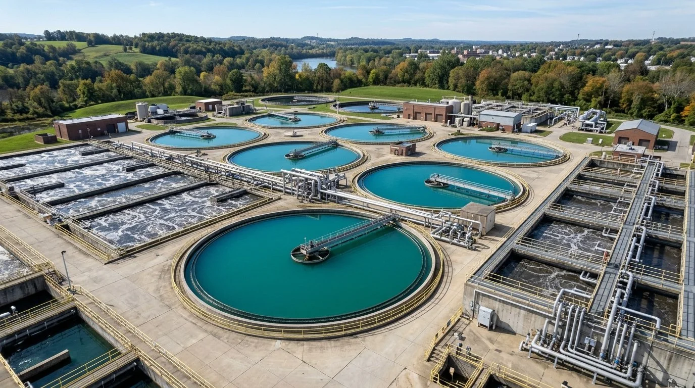 PLANT AERIAL ASSET VIEW
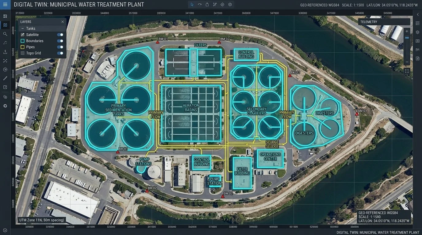 DIGITAL TWIN BASELINE
QA/QC & Accuracy Methodology
Each facility survey incorporated ground-verified checkpoints and regulatory record cross-referencing. Geospatial data across all 18 sites were unified under a single QA/QC protocol to guarantee consistent CAD layer structures and coordinate positioning.
03. Deliverables
A standardized, multi-site engineering package was provided for the entire program:
04. Results
In approximately 1 week, the engineering team received complete, standardized site packages for all 18 facilities, eliminating weeks of preliminary site visits and drafting delays.
Multi-Site Program Velocity
18 SITES IN 7 DAYS- Delivered 18 standardized plant site packages within 7 business days
- Provided immediate design-ready CAD basemaps for program engineers
- Established a verified digital baseline for multi-facility upgrades