

Regional Sewer Corridor Under Dense Tree Canopy
Engineering-grade UAV LiDAR mapping over miles of dense tree canopy for regional wastewater corridor design. Delivered in 2 weeks with ±0.10 ft accuracy.
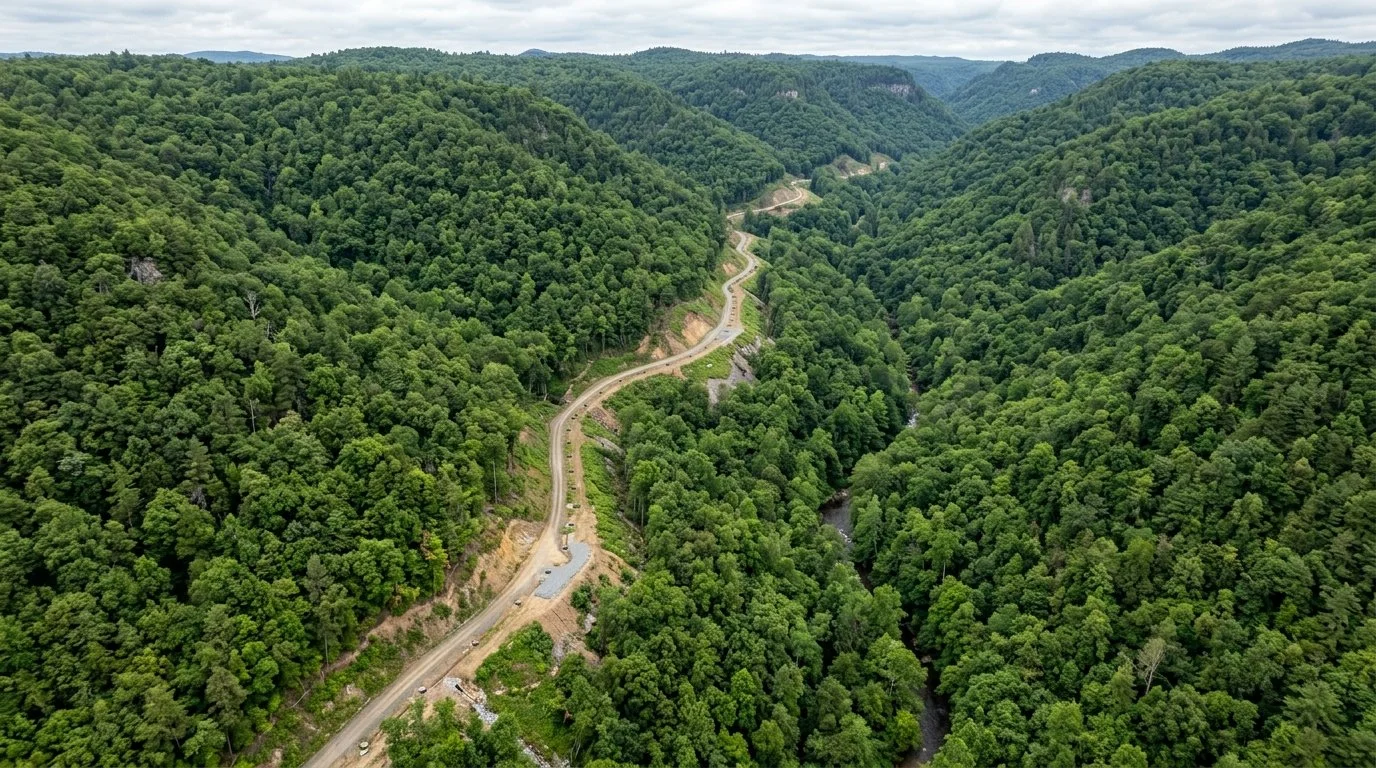
Regional sewer corridor, dense tree canopy
01. Challenge
Sky Shot supported engineering design for a major regional wastewater infrastructure alignment spanning several miles of challenging terrain, where over 50% of the corridor was obscured by dense tree canopy.
Conducting traditional ground surveying alone over this corridor would have required months of labor-intensive brush cutting, difficult site access coordination, and elevated field safety risks.
02. Method
To optimize data collection, Sky Shot deployed high-density aerial UAV LiDAR integrated with aerial photogrammetry. The airborne LiDAR sensor penetrated the vegetation canopy to model bare-earth ground elevations, while high-resolution imagery captured surface features.
 SURFACE: DENSE FOREST CANOPY
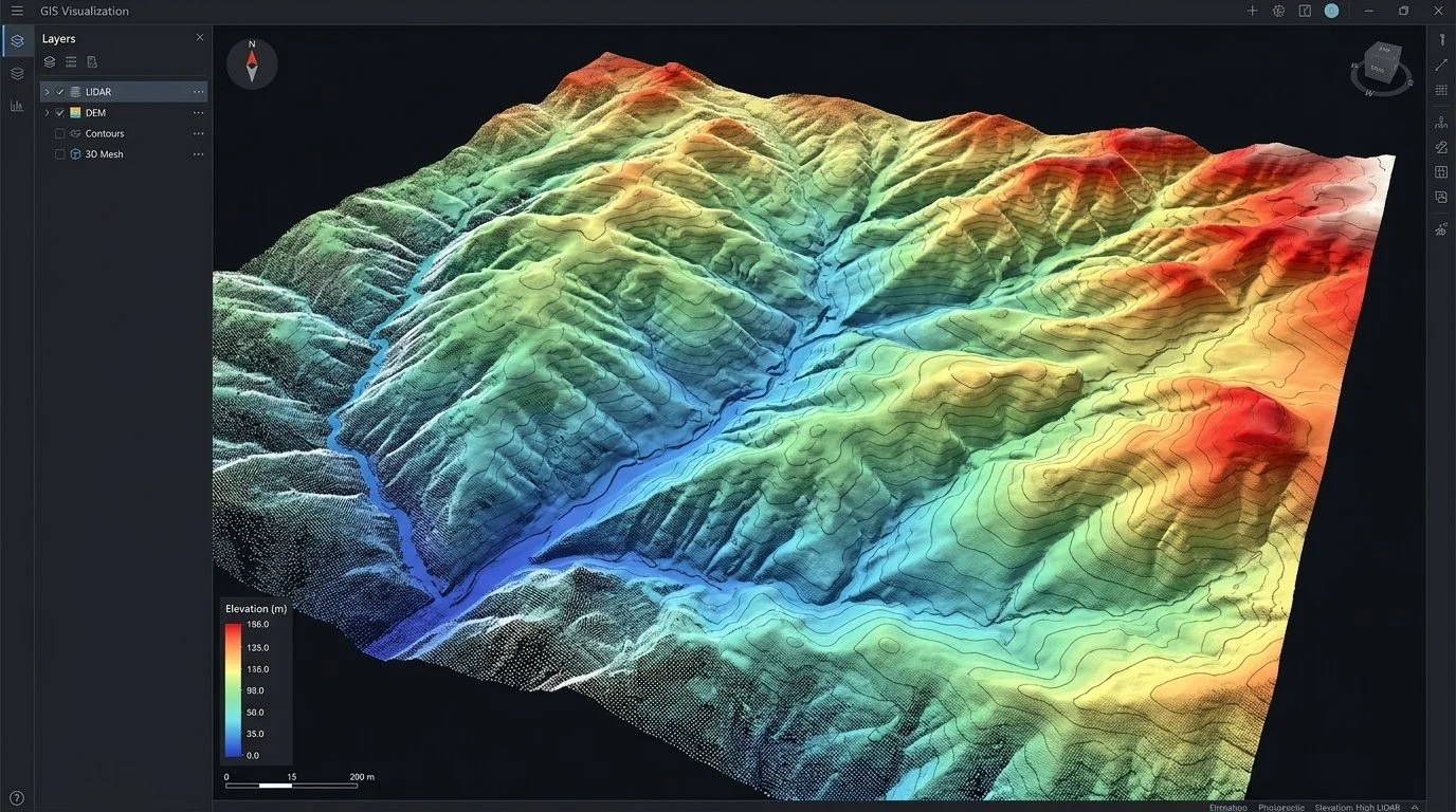 LIDAR: CLASSIFIED BARE-EARTH DEM
QA/QC & Accuracy Methodology
Aerial data collection was calibrated against a network of ground control points (GCPs) and independent check points surveyed via Real-Time Kinematic (RTK) GNSS. Bare-earth point cloud classifications were cross-verified through field sampling to validate vertical and horizontal tolerances prior to CAD export.
03. Deliverables
The project delivered engineering-grade geospatial assets fully referenced to the local project coordinate system:
04. Results
By combining UAV LiDAR acquisition with ground control verification, the engineering team received complete, design-ready deliverables in 2 weeks instead of the estimated 3–5 months for ground-only methods.
Project Delivery Timeline Comparison
88% TIME SAVED- Delivered final engineering mapping within 14 calendar days
- Achieved verified ±0.10 ft vertical and ±0.15 ft horizontal accuracy
- Significantly reduced field exposure and crew safety risks in dense brush